Snow Job
More than one-sixth of the world’s population relies on seasonal snow and glaciers for water. And in the western United States as much as three-quarters of the water supply comes from snow — an essential supply for agricultural crops.
For decades, satellites have measured the area covered by snow, but they have not been able to consistently measure how much water that snow contains over all terrains. Such information is of tremendous value to those who manage fresh water availability, natural hazards and ecosystem impacts, and those involved in winter-dependent industries. A new field initiative is working to provide a remedy.
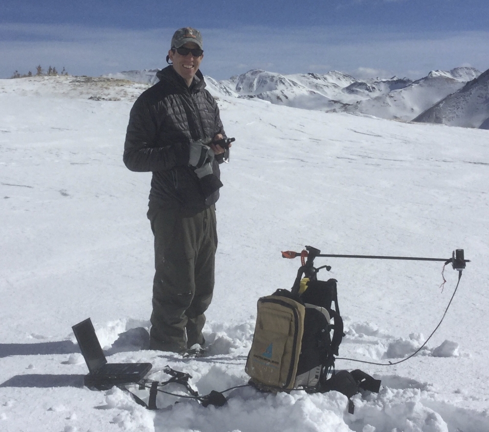
NASA’s SnowEx project is a multiyear campaign designed to advance new remote-sensing techniques to measure the amount of water held in snow, a key factor in calculating water supplies in many parts of the world. The SnowEx research team, which consists of scientists from universities and agencies across the United States, Europe and Canada, includes UC Santa Barbara snow hydrologist Ned Bair.
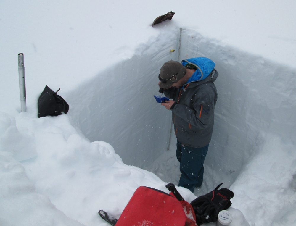
Bair and more than 100 fellow investigators are collecting a variety of airborne and ground-based measurements as well as testing several sensors and techniques — all to improve the measurements of snow over different terrain.
“The holy grail of snow hydrology is to be able to estimate the basin-wide water equivalent in the snowpack,” said Bair, an assistant researcher at the campus’s Earth Research Institute. “The mandate of SnowEx is to better measure the snowpack through an aerial campaign combined with satellite data and field measurements. That’s really important for being able to estimate how much water is in a particular basin and how much runoff there will be. Measuring things like the snow albedo is important for the timing of that runoff.”
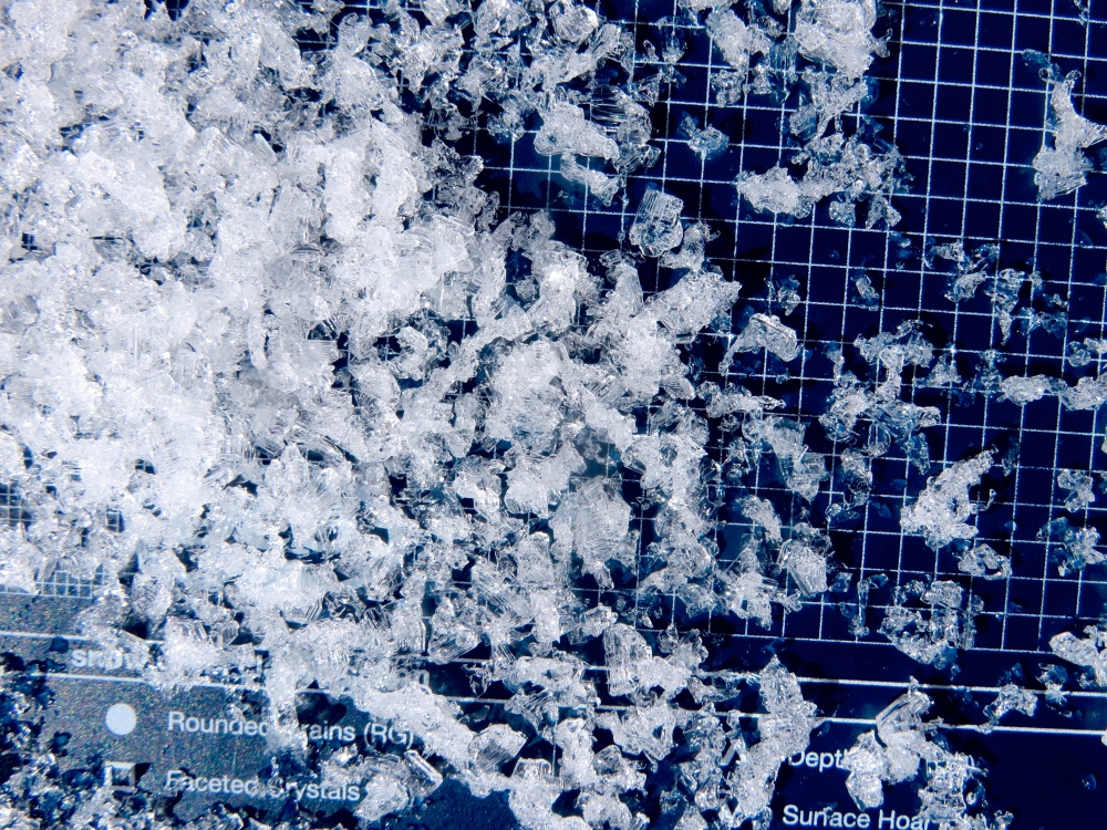
Derived from the Latin word for white (albus), albedo is the proportion of incoming radiation that is reflected off the snow. Because snow is white, it has a very high albedo, meaning it reflects up to 85 percent of shortwave radiation from the sun. “The melting of the snow is very sensitive to its albedo, which actually changes depending on how big the snow crystals are,” Bair explained.
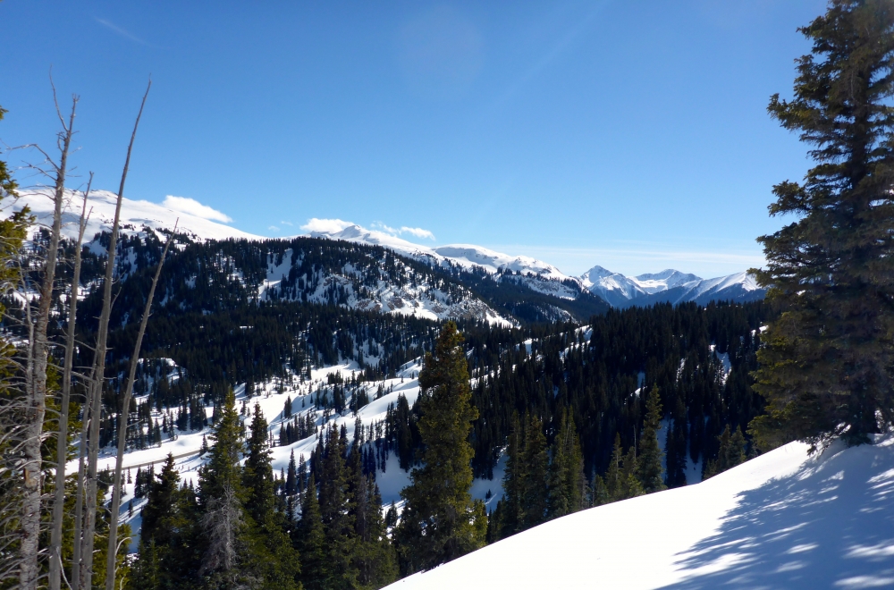
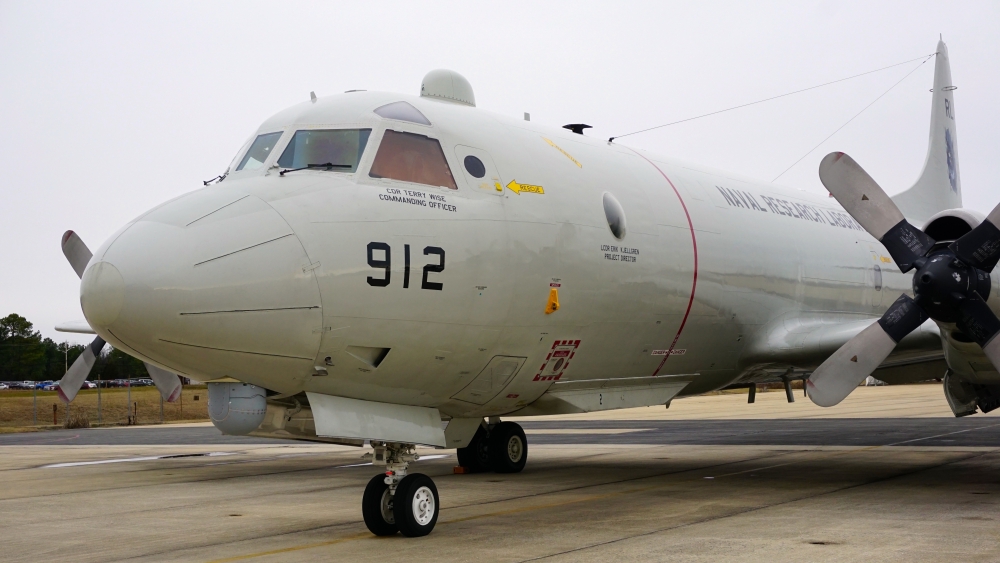
The SnowEx teams are working at two sites in Colorado. From the high-altitude plateau of Grand Mesa, multiple aircraft are measuring the snowpack and scientists are mounting a large validation effort on the ground. The aircraft are also flying over Senator Beck Basin near Silverton, which tops out at 13,510 feet.
Bair is working in the latter, an area of southwest Colorado prone to dust storms, which lower the snow’s albedo. “A lot of research has shown that the dust deposited on snow affects the acceleration of its melt — on the order of weeks earlier in the spring,” he explained. “The work we’re doing here should help with remote sensing and the aerial measurement of the snowpack in all sorts of locations.”
SnowEx is sponsored by the Terrestrial Hydrology Program in NASA’s Earth Science Division in Washington, and managed by the agency’s Goddard Space Flight Center in Greenbelt, Maryland. The U.S. Forest Service is leading the ground campaign in Colorado.
