A Vital Tool

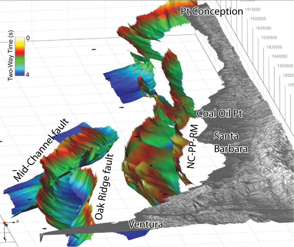
The active North Channel-Pitas Point fault system in the Santa Barbara Channel runs a distance of more than 75 miles, from onshore Ventura to an area west of Point Conception. Recent mapping by UC Santa Barbara’s Christopher Sorlien has shown the fault is nearly twice as long as scientists previously believed.
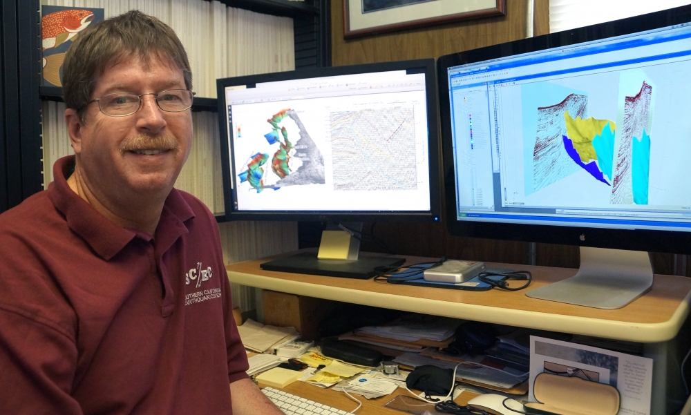
Active offshore faults like North Channel-Pitas Point are of particular concern to earth scientists due to the seismic shaking and tsunami risk they pose should an earthquake occur. To study these faults, Sorlien, a research geologist with the campus’s Earth Research Institute, and other researchers rely on Kingdom seismic software, which has been an integral part of earth science research activities since 1999.
IHS, Inc., the owner of Kingdom software, has given the university a three-year grant to renew multiple licenses of the software.
“Because this type of software is routinely used in the oil industry for guiding critical decisions in hydrocarbon exploration and production, students who use it are that much better prepared for the job market or to conduct important multidisciplinary studies,” said Craig Nicholson, a research geophysicist at the Marine Science Institute, who was instrumental in securing support from IHS. “Through this education grant, IHS helps ensure that UCSB and its earth science students continue to gain this valuable research capability and experience.”
At UC Santa Barbara, Kingdom has been a vital tool for research projects that investigate active tectonics, geologic structures and stratigraphy (the branch of geology that studies rock layers) and basin development. The program has also been used to evaluate offshore carbon seeps and methane release, examine coastal responses to changes in sea level and conduct paleo-climate and paleo-oceanographic studies of past global climate change.
Because the software enables 3-D visualization, mapping, modeling and interpretation of seismic reflection data, it is used to investigate and image important subsurface geological structure and, in particular, to examine the active faults offshore near UC Santa Barbara. These faults generated the city’s devastating M6.3 magnitude earthquake in 1925 and also were responsible for the M5.9 magnitude earthquake near UC Santa Barbara in 1978 and the M4.8 magnitude earthquake off Coal Oil Point in 2013.
“With Kingdom, students and researchers can accurately and quickly map and interpret three-dimensional geological features beneath the ground and can further quantify their important geological properties and dimensions,” said Nicholson, who is also an adjunct associate professor in the Department of Earth Science. “This is critical for properly evaluating things like the earthquake hazard or the past effects from sea-level change to coastal areas like Santa Barbara and Ventura, which are at risk for earthquakes and tsunamis.”
Kingdom software is also a key element in an international student competition called the Imperial Barrel Award. Each year oil companies supply a real dataset from an existing oilfield and participants assess the viability of oil in the area, including where to drill and their estimate of reserves in the region. Competitors are mentored by Alex Simms, an associate professor in the Department of Earth Science, as well as by alumni working in the industry.
“It’s a hands-on learning and educational exercise,” Nicholson said, “and the students learn how their science is applied in the real world. It’s a real collaboration among industry, the university and UCSB alumni.”
Thanks to Kingdom software, researchers have made some interesting discoveries, including the presence of large, enigmatic crater structures offshore between San Diego and Oceanside. Nicholson noted that these likely represent remnant undersea volcano complexes that were active 16 to 18 million years ago.
Compelling finds in other parts of the world also developed by Sorlien encompass the discovery of strong evidence for the formation of early ice sheets 30 million years ago in the Ross Sea off West Antarctica and a better estimate of the slip rate on the most active branch of the North Anatolian fault that is closest to and threatens Istanbul.


