Marine Protected Areas Get a Boost from New UCSB Web-Based Program


This is what can happen when marine life and geospatial scientists collide: You get a smart, easy-to-use Web-based program that one day soon might help protect the world's fragile marine ecosystems.
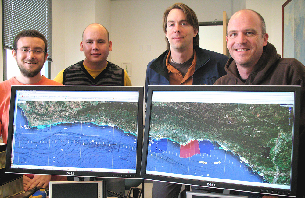
William McClintock, a project scientist at UC Santa Barbara, and other researchers from UCSB's Marine Science Institute, have created MarineMap, an internet mapping and decision-support system for designing marine protected areas (MPAs). McClintock and his team developed the program in cooperation with the Nature Conservancy, Ecotrust, and Farallon Geographics. McClintock is director of the MarineMap Consortium.
For now, stakeholders in the new system will have to be content with using it to study the California coast. But McClintock and his team hope that soon this powerful tool, which allows users to draw lines on maps to sort out potential MPAs, will help scientists provide guidance to policymakers who will map protected areas for marine life around the world.
According to McClintock, MarineMap was conceived after an earlier program called Doris failed to meet the goals set forth by legislation passed in 1999 –– the California Marine Life Protection Act (MLPA). "The act passed in '99 and mandated the state to put together a network of marine protected areas," McClintock said. "There are MPAs in state waters, but they've been put together piecemeal for decades, so they didn't function as a network. That is an important thing from an ecological standpoint."
Though stakeholders and policymakers alike wanted a Web-based decision support tool like Doris, the lackluster user interface and poor performance meant few used it. "It just wasn't up to snuff," McClintock said. "We ended up with an application that nobody ever used. So, about a year and a half ago, we were thinking, ‘How can we do this better? Let's just scrap Doris and write something from scratch using totally different technologies.' That's when we started thinking about MarineMap in earnest."
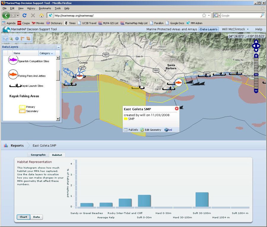
The result of their hard work is an intuitive program that allows stakeholders to draw polygons on computer screens to create maps and receive instant feedback on the marine life and environment in the specified area. The program combines an extensive catalog of geographic data, sophisticated spatial analysis, and an interface with social media tools to enable members of the public to participate in the election of marine environments that should be designated for conservation, recreation, and commercial purposes.
"We're working from a whole host of data sources –– from the Department of Fish and Game, and from NOAA (National Oceanic and Atmospheric Administration)," said Jared Kibele, geographic information systems analyst and a member of McClintock's team. "They look at things like whether the MPA has a rocky bottom, or a soft bottom, the percentage of beach, various depth zones, the presence of kelp. We basically do a survey and find the best available spatial data."
The data on which MarineMap is based include fisheries maps, substrate maps, mammal rookeries, roosting sites and surfer reports. In addition, the information includes feedback from 250 commercial fishermen, 150 commercial passenger fishing vessel operators, and another 500 recreational fishermen. Researchers have been using a variety of techniques to gather this information, including in-person interviews, and online surveys. All of the information is processed and plugged into a series of detailed maps.
The MLPA network started with data from the Central Coast –– from Point Conception to Pigeon Point, north of Santa Cruz –– several years ago. Then Doris was used to create the Northern California network of MPAs. The latest addition, created in 2008 using MarineMap, is the Southern California coast, from Point Conception south to Baja, Mexico. While it's already brimming with valuable information, the program will be updated as new data is released. "There's an ongoing process to get even better, high-resolution data," said Kibele. "There were a number of ships out recently, doing multi-beam sonar surveys all up and down the Southern California coastal areas. That data is in the final stages of processing right now and we will add it when it becomes available."
McClintock and his team are like proud parents when it comes to the software and programs used to create MarineMap. "We're all pretty proud of the fact that it's developed entirely in open source," McClintock said. "The idea is to eventually just give away this software to other marine conservation efforts. It could be used for anything, for any type of area-based planning. But it would be nice to see it used for marine protected area planning, for marine renewable planning."
For now, full access to MarineMap is available only to stakeholders – commercial fishermen, recreational fishermen, scuba divers, surfers, and others who would be directly affected by the placement of the MPAs. There is, however, a public component to the system. At no charge, the public can go to the MarineMap Web site (http://www.marinemap.org/marinemap/) and access the data used to create the network.
Meanwhile, McClintock is getting ready to hit the road to tell the world about this new tool. He'll display MarineMap at the American Association of Geographers convention in Las Vegas, at the Coastal Geotools conference in South Carolina, and at the May meeting of the International Marine Conservation Congress in Washington.
"I think this is an incredibly intuitive application, and it's just a matter of getting it in front of people's eyes and letting them know about it, before it takes off," McClintock said.
Related Links


